
Our services
Our integrated workflow.
Six service clusters working as a single, end-to-end offering — from first flight through to long-term digital twin management.
Service line 01 — CAA-licensed
Aerial Intelligence Solutions.
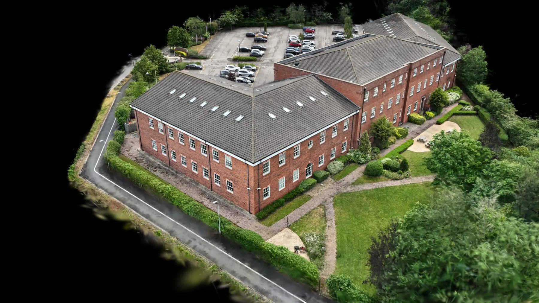
Advanced aerial data capture delivering comprehensive site intelligence from above — supporting faster decisions, enhanced oversight and safer inspection of hard-to-reach assets. From single-site UAV operations to multi-day LiDAR campaigns, our CAA-licensed pilots deliver millimetre-grade data, processed and structured for direct use by your design, planning and asset teams.
-
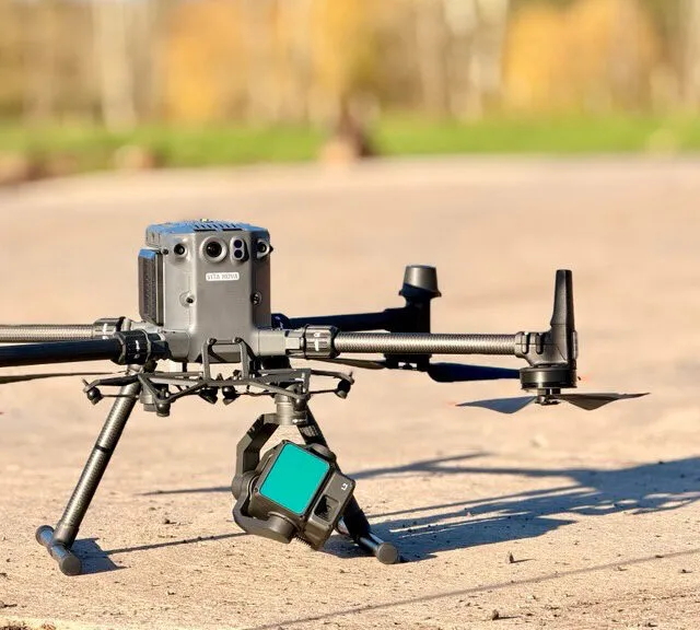
UAV (drone) operations
CAA-certified pilots delivering high-resolution aerial imagery and site documentation.
-
LiDAR scanning
One million points per second at ±20mm accuracy at 10m range.
-
Topographical survey
Detailed terrain mapping with accurate elevation models and contours.
-
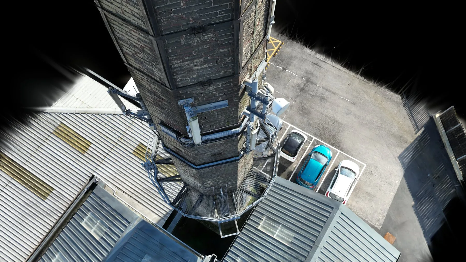
Aerial inspection
Remote visual and thermal inspection of structures and infrastructure — up to 400× faster than ground methods.
Applications: construction monitoring · infrastructure inspection · land development · environmental assessment
Service line 02 — ISO 19650
Reality Capture & Digital Twins.
We transform physical environments into precise digital representations supporting collaboration, predictive maintenance and asset management across the lifecycle. Terrestrial laser scanning, UAV photogrammetry and BIM modelling combine to produce digital replicas of buildings, infrastructure and full estates — structured for ISO 19650 delivery from day one.
-
Reality capture services
Advanced scanning and photogrammetry capturing existing conditions with exceptional accuracy.
-
Digital twin development
Intelligent digital replicas that evolve with the real world, supporting predictive maintenance.
-
2D & 3D modelling & BIM
Precise representations of buildings and infrastructure for design, analysis and shared single-source collaboration.
-
Asset digitisation
Comprehensive databases of components, condition and specification.
Applications: BIM model creation · heritage preservation · facility management · construction planning
Service line 03 — Audit-grade
Precision Survey & Inspection.
Detailed assessment and monitoring services providing critical insight into asset condition, performance and maintenance need. Our combination of terrestrial laser scanning, thermal imaging and aerial inspection produces audit-grade evidence packages for facilities management, insurance and compliance use.
-
Condition surveys
Comprehensive asset assessment with detailed reporting and lifecycle planning.
-
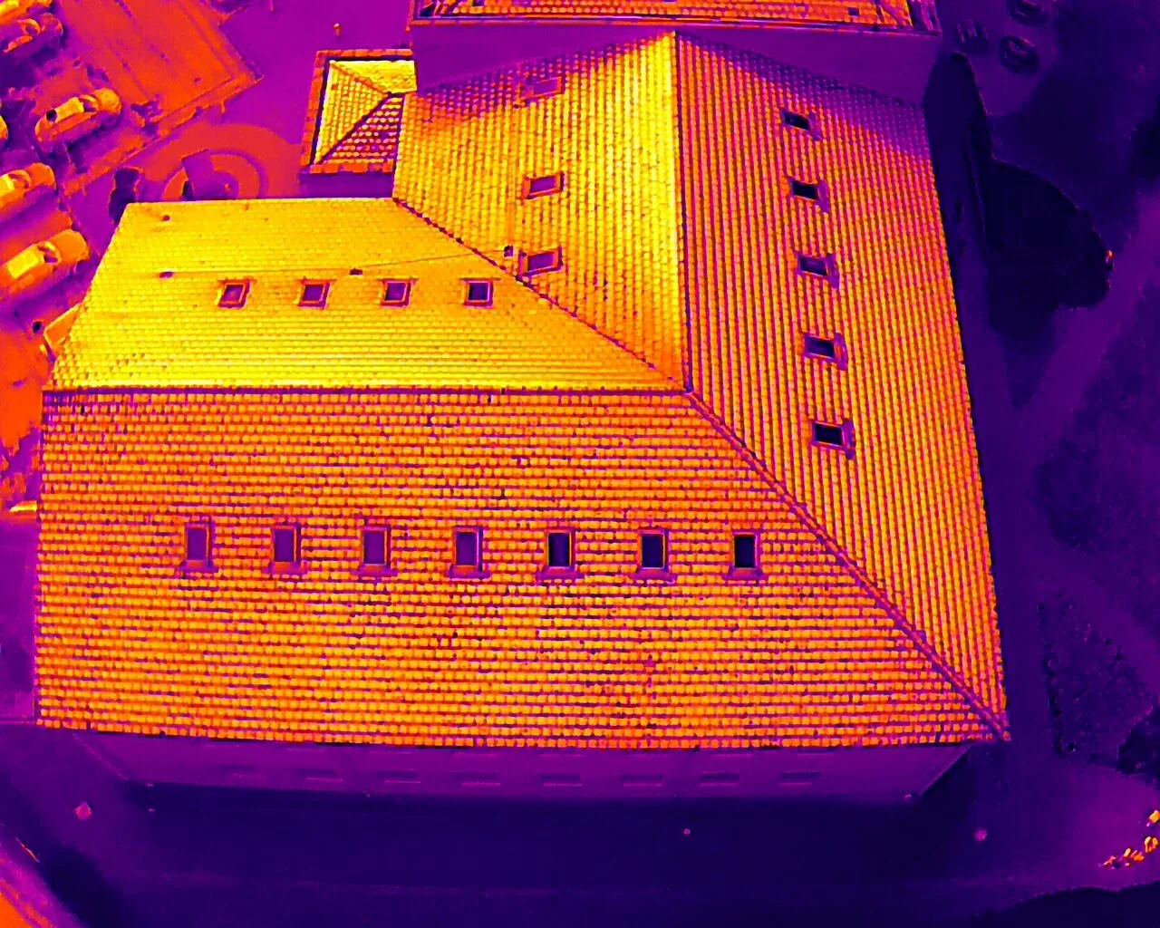
Thermal imaging
Infrared analysis identifying heat signatures, energy inefficiency, moisture and structural anomalies.
-
Roof inspection
Drone-based and thermal inspection of membrane integrity and drainage — no scaffolding required.
-
Digital survey services
Modern survey techniques and advanced instrumentation for precise measurement.
Applications: maintenance planning · insurance assessment · compliance monitoring · pre-purchase survey
Service line 04 — Complex access
Specialist Survey Solutions.
Advanced survey solutions for complex environments — delivering data where traditional methods cannot reach, structured for the people who need to act on it. Whether the challenge is a confined space, an industrial vessel, a buried utility network, a listed building or a high-risk asset, we tailor the methodology to the problem.
-
Confined-space survey
Remote-sensing solutions for tanks, vessels, voids and hazardous areas — no manned entry.
-
Ground penetrating radar (GPR)
Subsurface investigation detecting buried utilities and structural elements — no excavation.
-
Advanced inspection
Specialised inspection of industrial equipment, critical infrastructure and heritage buildings.
Applications: industrial facility assessment · archaeological investigation · utility mapping · heritage documentation
End to end
From first flight to digital twin handover — one accountable team.
Senior-led on every project
Service line 05 — Strategic
Strategic advisory for lasting change.
Beyond survey delivery, we help organisations build the internal capability, processes and information frameworks needed to drive digital maturity.
Building Information Management
— ISO 19650 implementation
— BIM Execution Plan development
— Common Data Environment strategy & setup
— ISO 19650 information requirements
— Golden Thread compliance
Training & Capability
— Bespoke training programmes
— BIM & digital construction skills
— Digital maturity workshops
— Team upskilling & certification
— Ongoing support & mentoring
Strategic Advisory
— Digital transformation roadmaps
— Bid & work-winning consultancy
— Process optimisation analysis
— ROI & business case development
— Implementation pathway guidance
Service line 06 — BSA 2022
The Golden Thread starts on day one.
The built environment is evolving from static assets to intelligent systems. Golden Thread compliance, digital twins and IoT integration all require accurate data from the outset. Here’s where we add value:
Higher-Risk Buildings
Golden Thread information capture aligned to Higher-Risk Building safety case requirements.
Project Programmes
ISO 19650-compliant information delivery from feasibility through to operational handover.
Existing Assets & Estates
Reality capture and condition data feeding into asset management systems for portfolio decisions.
Asset Digitisation
Digital asset capture aligned to lifecycle information management requirements.
Secure by Design
Secure-by-design data capture aligned to InfoSec and accreditation requirements.
Driving Digital
Digital and information management consultancy aligned to organisational information goals.
Ready to start your project?
Tell us about your site, your data challenge and your timescales — we’ll design the right methodology.