
Digital Construction · Reality Capture · UAV Survey
Precision data.
Decisive action.
We turn precision geospatial data into actionable insight — helping you see, build and manage your built environment with confidence. UK-wide, senior-led, audit-ready.
01 — Who we are
Specialists in digital construction, reality capture & UAV survey.
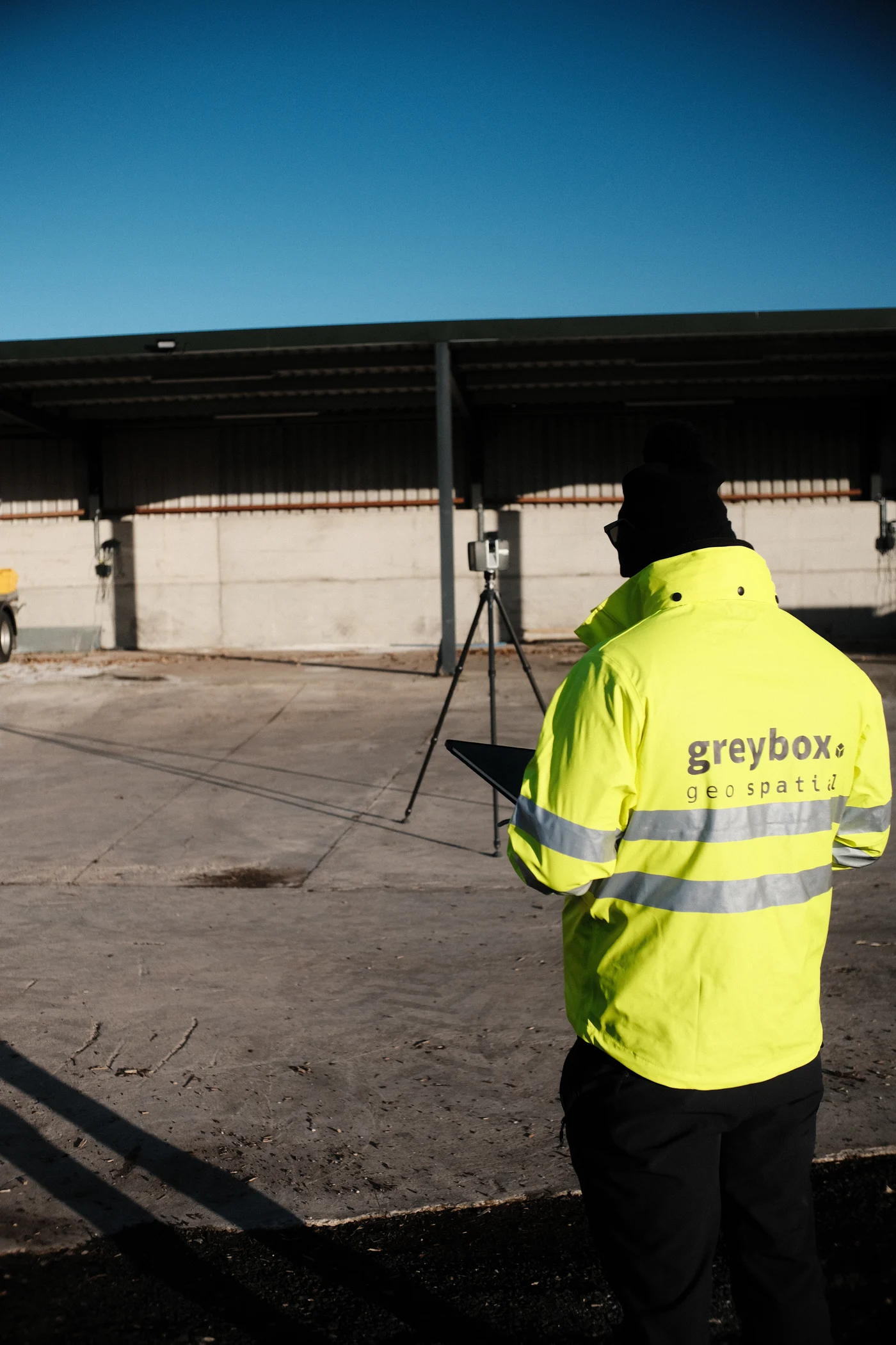
Greybox was founded by project professionals, engineers, surveyors and BIM specialists with decades of delivery experience across government, defence, critical national infrastructure, transport and commercial estates. We understand the ‘what’ of your work because we have lived it — and we connect it to the ‘where’ with rigour you can audit.
-
One accountable team
BSI-certified BIM specialists and CAA-licensed UAV operators — from first survey to digital twin handover.
-
The Golden Thread principle
Every dataset captured to a known standard, structured to ISO 19650 and auditable from day one.
-
Senior-led delivery
Directors with master’s-level qualifications in construction, design modelling and structural engineering — on every job.
02 — What we do
Our integrated workflow.
Six service clusters that work as a single, end-to-end offering — from first flight through to long-term digital twin management.
Aerial Intelligence
UAV operations, LiDAR scanning, topographical survey and aerial inspection — millimetre-grade data from certified pilots.
Learn moreReality Capture & Digital Twins
Photogrammetry, 3D modelling and asset digitisation — intelligent digital replicas structured for delivery from day one.
Learn morePrecision Survey & Inspection
Condition surveys, thermal imaging and roof inspection — audit-grade evidence for FM, insurance and compliance.
Learn moreSpecialist Survey Solutions
Confined-space UAV, ground penetrating radar and advanced inspection — data where traditional methods cannot reach.
Learn moreDigital Transformation
ISO 19650 implementation, BIM execution plans, CDE strategy, training and advisory — capability that lasts.
Learn moreData Quality Excellence
Golden Thread compliance, Building Safety Act 2022 readiness and lifecycle assurance — accurate data from day one.
Learn moreOur approach
We bridge the gap between raw spatial data and strategic action.
Precision insights — smarter decisions
03 — Project showcase
Outcomes our clients can measure.
Aerial & Reality Capture — 3D
UAV topographical survey and terrestrial LiDAR combined into a 3D model, virtual tour and full as-built CAD drawings.
View projectInvestigation & As-Built Drawings
Legacy access investigation for a Mayfair restaurant build, with updated as-built drawings as a reliable basis for development.
View projectInspection Survey — Virtual Record
Full condition assessment delivered through a bespoke virtual platform, with every defect tagged in a navigable model.
View project04 — Why Greybox
The numbers that matter.
Expertise
Decades of experience and academic qualifications in construction, design modelling, structural engineering and digital construction.
Innovation
Continual investment in best-in-class hardware and software: LiDAR, photogrammetry, UAV, GPR, thermal, AI and machine learning.
Accuracy
Quality-controlled workflows producing audit-grade data for building safety, planning and asset decisions.
Partnership
Senior-led delivery on every project — a single point of accountability from concept to ongoing asset management.
In collaboration with












05 — Insights
Knowledge you can act on.
The Golden Thread
Quality digital information management for the built environment — and what the Building Safety Act 2022 demands of it.
DownloadISO 19650 Implementation
From initial assessment to full deployment — BIM execution plans, CDE setup and information requirements, step by step.
DownloadIndustry News & Updates
The latest from across UK construction and geospatial technology, curated on our Insights page.
Read the latest06 — Get in touch
Let’s map your next move.
Whether you need a one-off survey or a long-term geospatial partner, we welcome the conversation.
1 Winnall Valley Road, Winchester, SO23 0LD
UK-wide operations